Aerial Imagery Capture
Aerial Imagery Capture
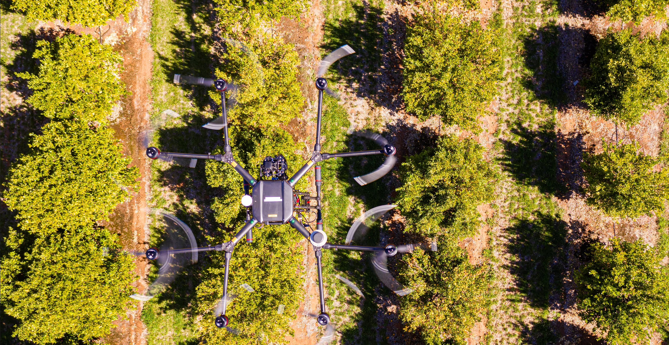
Deploying advanced UAVs (drones) equipped with a variety of sensors to capture high-quality, on-demand geospatial data for any application.
What we deliver
- High-resolution aerial photograph
- LiDAR, thermal and multispectral data acquisition
- Infrastructure and asset monitoring
- Topographic surveying and mapping
Need a birds eye view of your land? AirborneLogic is perfectly placed to help you get the data you require. We can advise you on what you need, manage the data acquisition, process the imagery and extract the results you’re after.
We hold a CASA ReOC and have an extensive collection of drones capable of capturing RGB, multispectral, hyperspectral, lidar and thermal infrared. We’ve operated our drones in every state of Australia and have a strong safety record. For smaller areas or when ultra-high detail is required, drones are a fantatsitc option.
If your area is too large for drones, however, we have strong relationships with other airborne data providers across Australia. We’ve dealt with a range of cameras and instruments, across both helicopters and airplanes.
Examples of some of our recent data captures:
- 28000ha of almond orchard @ 1.5cm GSD by drone
- VNIR hyperspectral data on a helicopter over Darwin (need area)
- 120ha of drone based lidar over a quarry requiring rehabilitation
- 2 x 100MP RGB cameras in a Cessna over 21,200 ha of Kosciuszko National Park (link to horse case study)
- RGB and multispectral drone imagery on a vineyard right next to Launceston airport
- 2 x 100MP RGB cameras over Renmark and surrounds (xxx ha)
- 250 x 12ha sites of both drone RGB and drone lidar across several large, remote outback stations
- Xxha of RGB imagery to create high resolution DTM for watershed mapping in Streaky Bay
- Xx ha of drone RGB and nighttime drone thermal to map wombat populations around rural infrastructure