Forestry
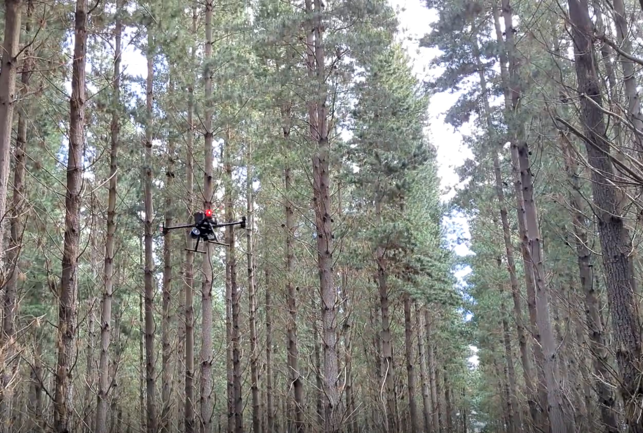
Lidar has revolutionized commercial forestry, allowing fast and accurate data collection much faster than was ever possible before. From broad scale mapping aboard a plane, through to individual plot scale, lidar can do it all. AirborneLogic proudly operates an Emesent Hovermap ST-X lidar unit. This versatile scanner can be carried by hand for individual tree or plot scale measurements, mounted to a drone and flown over the canopy for larger compartment scale scans, and best of all, it can operate with the drone autonomously inside the forest. A drone flying between the trees safely and efficiently is truly a sight to behold, and opens up faster, safer plot scale scans.