Our Services
A comprehensive suite of remote sensing and geospatial services designed to deliver actionable insights and support better decisions.
Carbon Farming & Natural Capital
Independent Natural Capital MRV services for carbon and biodiversity credit projects - with expertise in the data, science and mapping that underpin credit generation
- Project feasability & mapping
- Field data colleciton & analysis
- Reporting & monitoring
- Stakeholder confidence
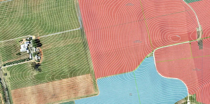
Mapping & GIS
End-to-end mapping and GIS services for organisations and projects that require geo-spatial information, systemised data management and verified reporting
- System Design & Implementation
- Mapping & Spatial Analysis
- Support & Maintenance
- Consulting & Capacity Building
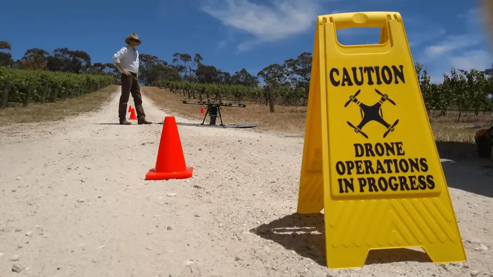
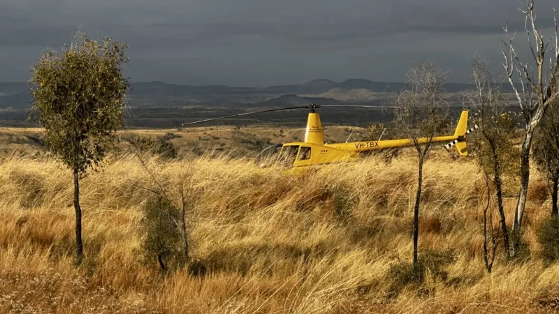
Geospatial Data Capture & Analysis
High accuracy sensors, custom workflows and exacting QA/QC for the supply of high-fidelity, best in class remote sensing data and analytics
- Data Capture & Surveying
- Processing & Analysis
- Industry-Specific Solutions
- Flexible output formats
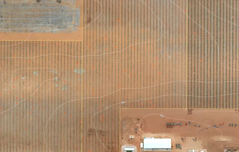
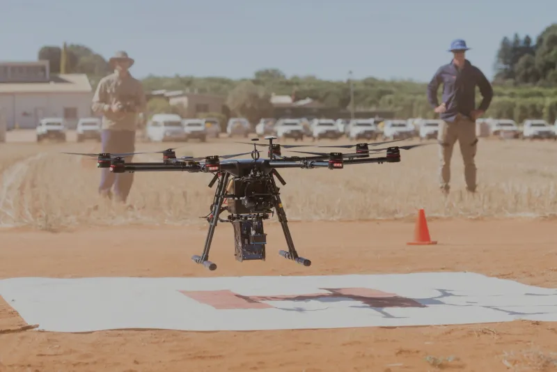
Farm Mapping & Monitoring Systems
Custom built GIS mapping and monitoring systems for powerful decision-making, real-time management, sharing information and integrating technology
- Farm Mapping & GIS
- Remote Sensing & Crop Monitoring
- Data Analysis & Reporting
- Custom Software & Mobile Integration
- Support for owner operator models
Ready to Get Started?
Contact us to discuss how our services can be tailored to your specific needs.