Enabling smarter land management through remote sensing
Empowering agricultural and land managers to measure, monitor, and optimise with cutting-edge remote sensing and geospatial analytics.
Industries We Serve
Explore the diverse industries leveraging our expertise.

Core Services
Discover how our specialized services can benefit your operations.
Custom Geospatial Analysis
Transforming raw geospatial data into actionable intelligence through advanced analysis, modeling, and custom algorithm development.
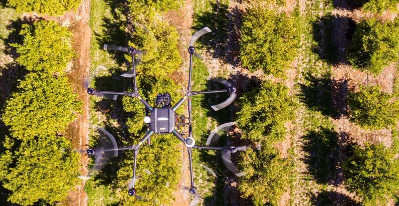
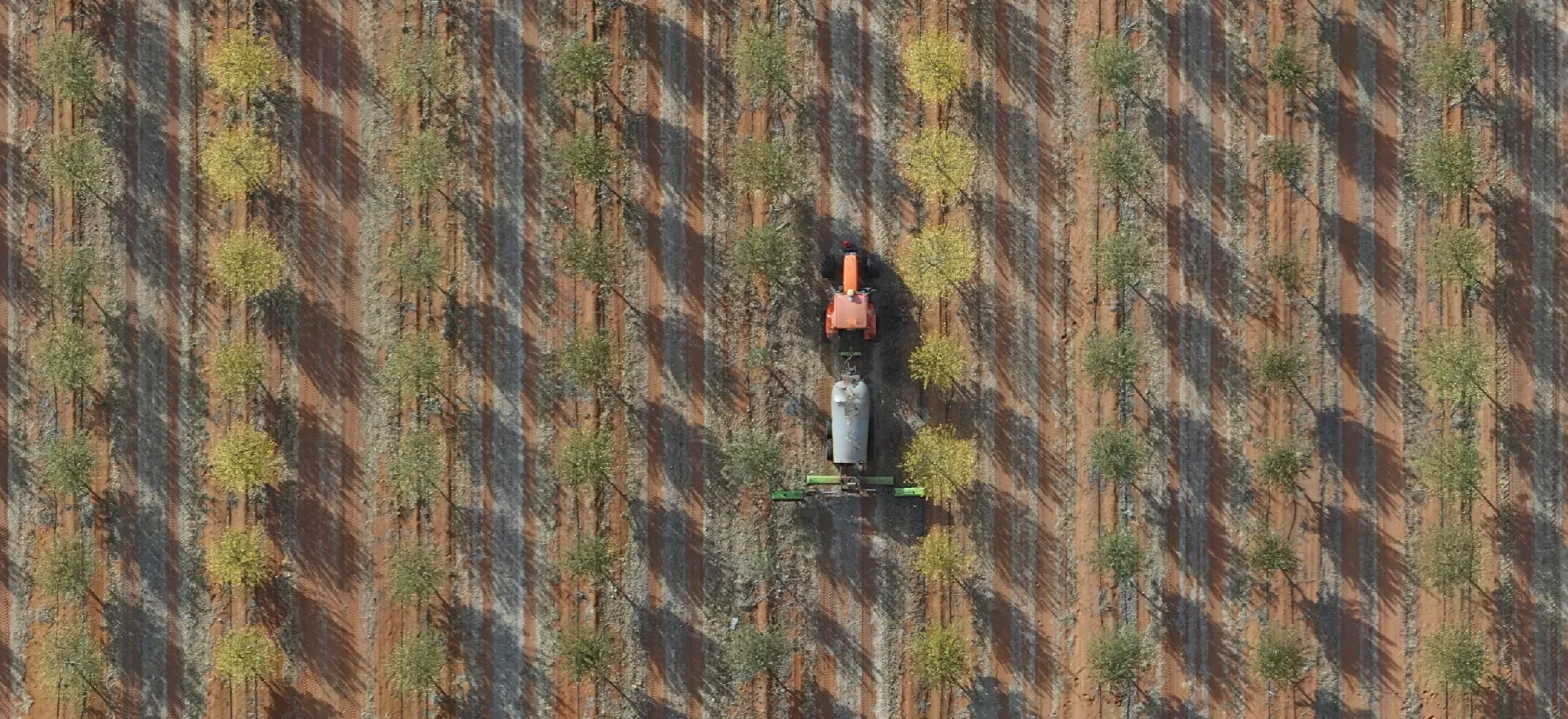
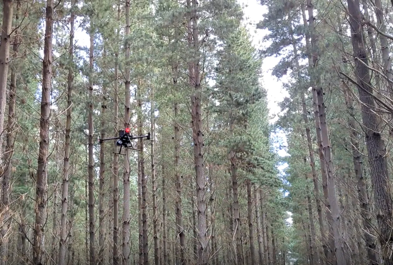
Aerial Imagery Capture
Deploying advanced UAVs (drones) equipped with a variety of sensors to capture high-quality, on-demand geospatial data for any application.
Natural Capital Accounting
Quantifying the value of natural assets to help organizations make informed decisions that balance economic and environmental outcomes.
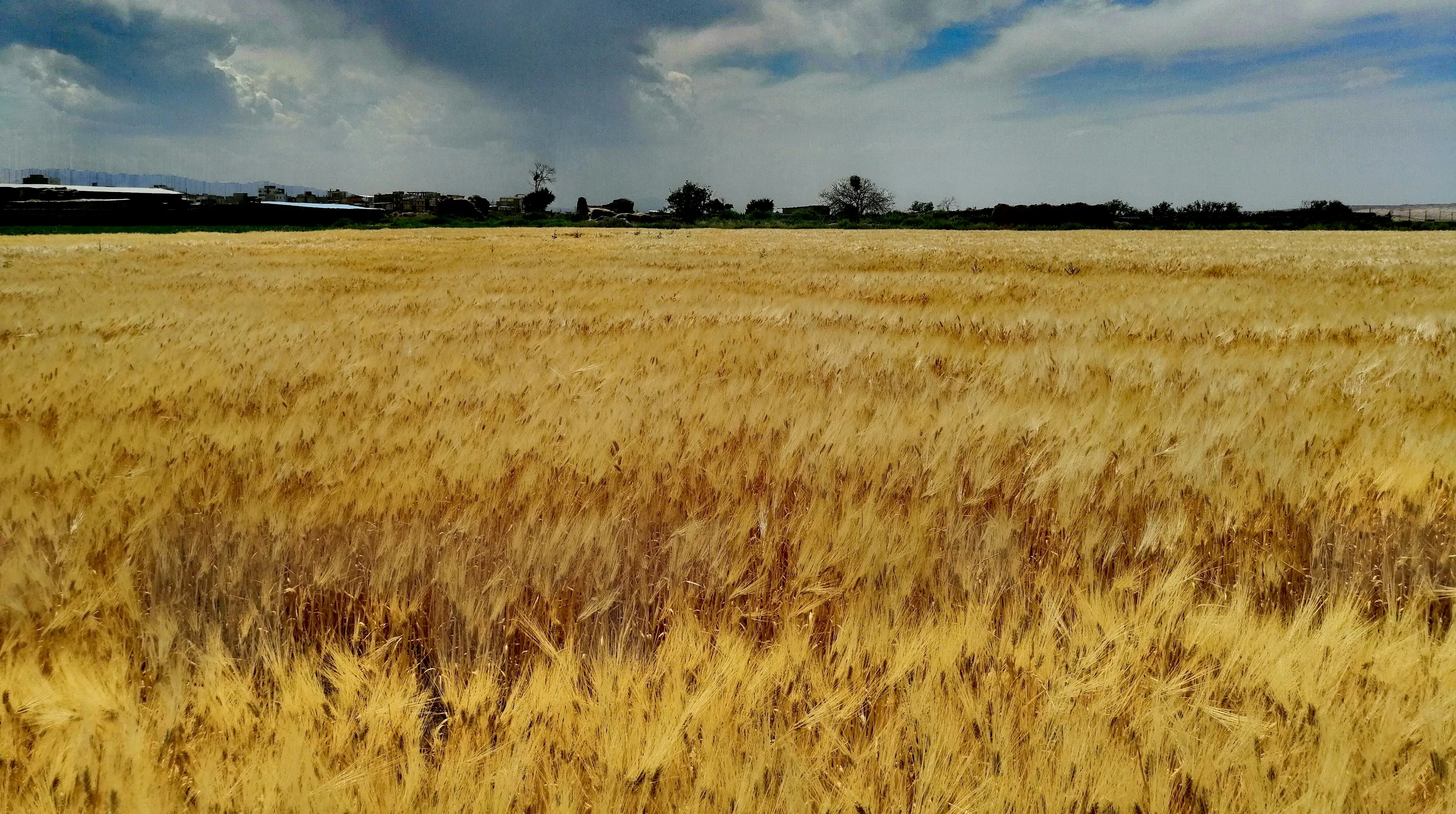
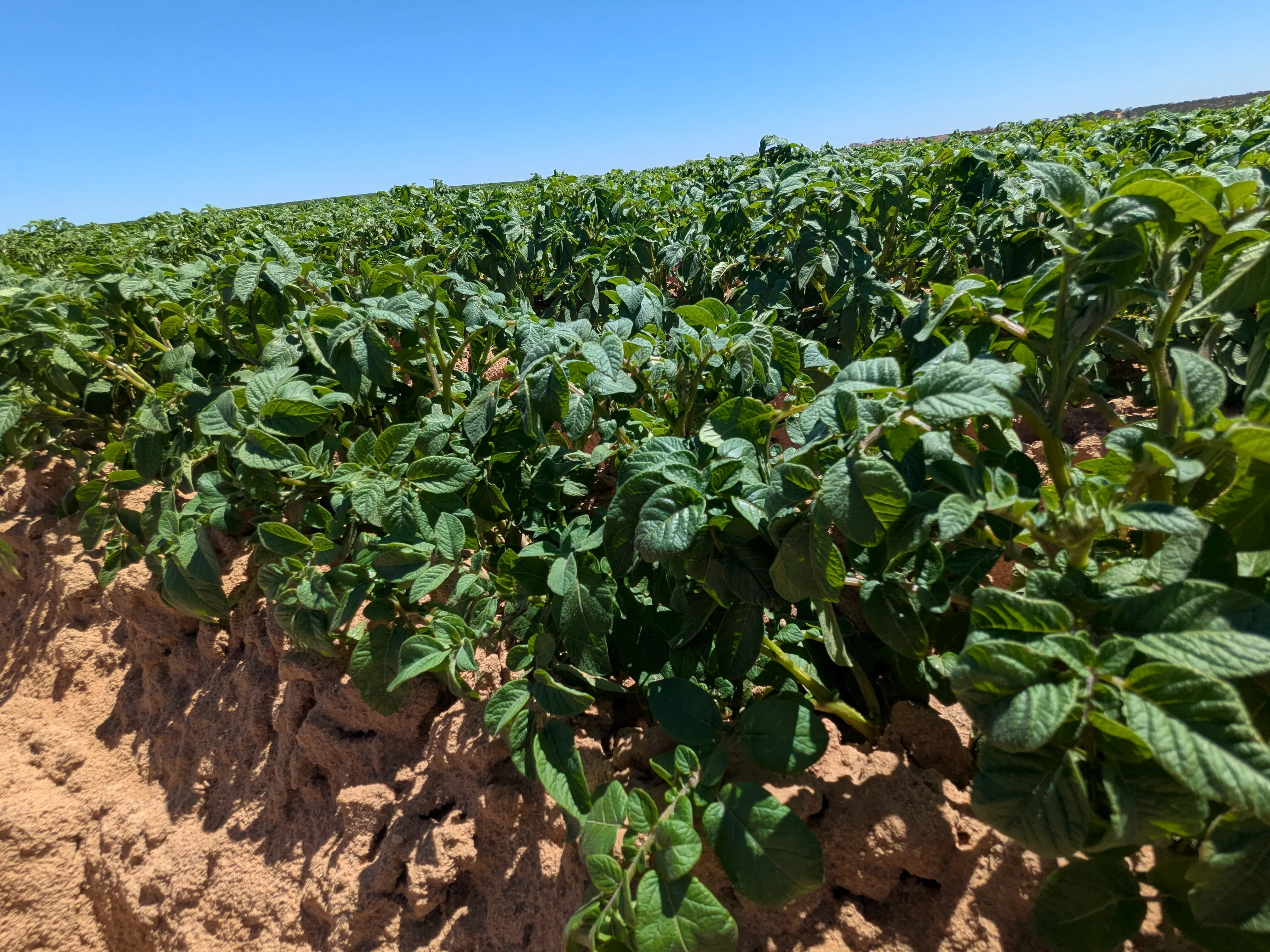
Precision Agriculture
Leveraging high-resolution aerial imagery and sensor data to optimize crop management, increase yields, and promote sustainable farming practices.
Latest Insights
Stay updated with our latest research, news, and case studies.

Portals
Access insights and tools via our Grower and NatureLogic+ portals.
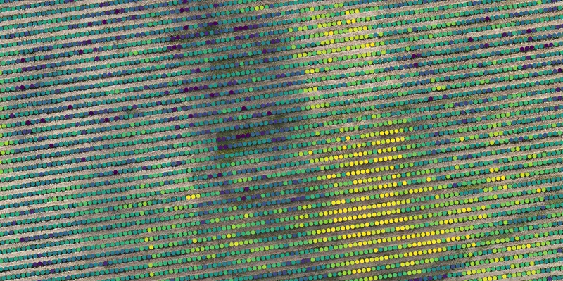
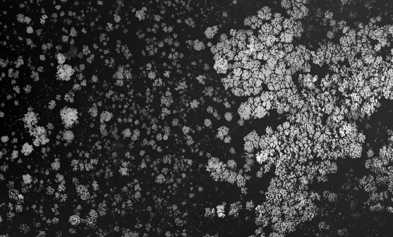
Grower Portal
Purpose-built for agriculture clients, delivering plant-level Vigormetrics, raster RGB layers from drone flights, thermal imagery for leak detection, and rich block/row/plant summary statistics.
- Plant-level Vigormetrics
- Raster RGB layers from drone missions
- Thermal imagery to detect irrigation leaks
- Block, row and plant summary stats
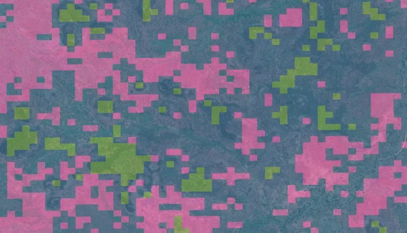
NatureLogic+ Portal
Coming soonIn development: a portal for Natural Capital projects to explore stratified project areas, track progress, and view multiple MRV layers and metrics.
- Stratified project views
- Progress tracking across project phases
- Layered MRV insights (coming soon)
Ready to talk?
Let's discuss how AirborneLogic can assist with our geospatial expertise.