Mapping & GIS
AirborneLogic produces detailed GIS maps and spatial analysis deliverables that help land managers, farmers, and government agencies make confident, evidence-based decisions.
End-to-end mapping and GIS services for organisations and projects that require geo-spatial information, systemised data management and verified reporting
AirborneLogic designs, builds, and maintains GIS (Geographical Information Systems) tailored to the needs of agriculture, natural capital, and environmental sectors. Whether you’re a grower, consultant, or land manager, we help you scope, implement, and optimise spatial systems that support daily operations, strategic planning, and regulatory compliance.

What We Offer
- System Design & Implementation: Custom GIS architecture for farms, natural capital projects, and environmental consultancies; Integration with remote sensing, field data, and third-party platforms; Mobile-enabled field tools for inspections, data collection, and reporting
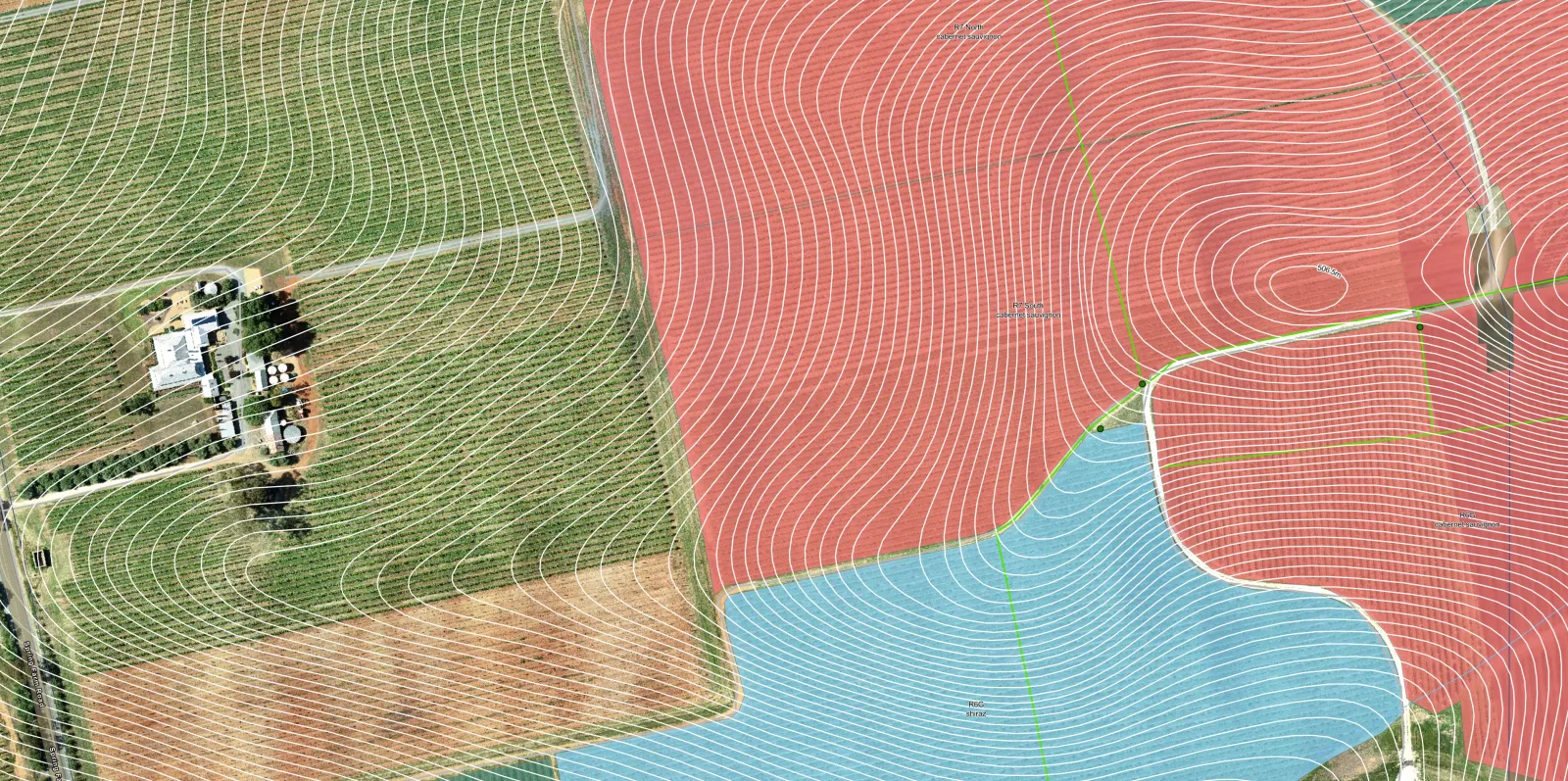
- Mapping & Spatial Analysis: Stratification based on vegetation, terrain, and soil properties; Project site mapping, asset tracking, and spatial planning; Automated reporting and dashboard creation
- Support & Maintenance: Managed Services Agreements (MSAs) for GIS upkeep and optimisation; Daily support: AGOL maintenance, ad-hoc mapping requests, help desk; Long-term improvements: automation, data ingestion, scenario modelling
- Consulting & Capacity Building: GIS strategy and scoping for mapping and remote sensing projects; Training and support for staff and consultants; Risk mitigation through system reliability and user empowerment
Why AirborneLogic?
- Industry-Focused Expertise: Deep experience in agriculture, carbon, biodiversity, and environmental sectors
- Flexible & Scalable: Solutions for small projects to enterprise-level operations
- Built for Use: Designed to be functional, intuitive, and future-fit
- Trusted by Leaders: Supporting GIS operations for local and international clients
From field to dashboard
Our GIS systems enable seamless workflows from mobile field data collection using phones and tablets, to real-time analysis and reporting. Whether you're mapping farm productivity, monitoring biodiversity, or planning carbon projects, we help you turn spatial data into strategic insight and practical outcomes.