Land Cover & Change DetectionVegetation & Forest MappingHabitat Classification & MonitoringBiodiversity Assessment
Detailed, spatially accurate mapping and classification of habitat types, biodiversity and natural assets for benchmarking, environmental planning and detecting change
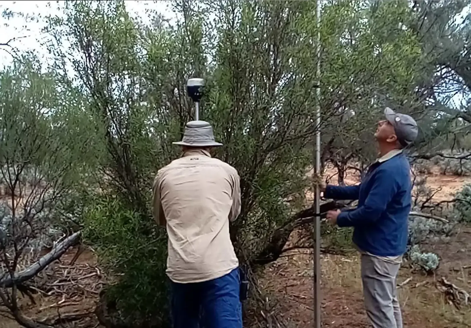
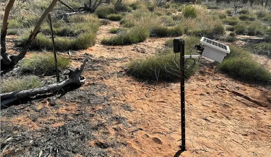
We help landholders, industry, and government agencies monitor environmental conditions and track ecosystem changes using advanced remote sensing technologies and precision-based mapping systems. Our services support informed decision-making for conservation, rehabilitation, and sustainable land management across diverse landscapes and industries nation-wide.
Our Capabilities
-
Land Cover & Change Detection
- High-resolution satellite and aerial imagery
- Historical and real-time land use analysis
- Detection of deforestation, degradation, and land rehabilitation
-
Vegetation & Forest Mapping
- Vegetation classification
- Canopy cover and biomass estimation
- Monitoring of forest health and regeneration
-
Habitat Classification & Monitoring
- Mapping of critical habitats and ecological zones
- Analysis of change to help track habitat dynamics
- Support for biodiversity corridors and conservation planning
-
Biodiversity Assessment
- Integration of remote sensing with field survey data
- Habitat condition modeling
- Methods to determine species richness and ecosystem integrity
Why Work With Us?
- Proven expertise in agricultural and natural ecosystems
- Scalable solutions from property-level to regional monitoring
- Custom dashboards and spatial analytics tailored to your goals